Description
|
Title: |
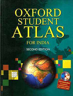
Oxford Student Atlas For India (Second Edition) |
|
Publisher: |
Oxford University Press |
|
Published: |
2004 |
|
ISBN-10: |
0198062745 |
|
ISBN-13: |
9780198062745 |
|
No. of Pages: |
120 |
|
Edition: |
2012 |
|
Binding: |
Paper back |
|
Language: |
English |
About the Book
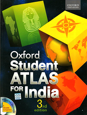
The Oxford Students Atlas for India uses the latest state-of-the-art techniques to produce maps that are accurate and easy to read. Thoroughly researched and up-to-date, this completely new third edition of the atlas is designed keeping in mind syllabi requirements of various education boards in India. It covers India’s physical, geo-political, environmental, demographic, socio- economic, cultural, and historical features with thematic and statistical representation on a range of topics that are usually included in major syllabi. In addition, it vividly traces geographic characteristics of each continent with regional maps of important countries and the world.
Special Features
- Contains quality digital maps that are aesthetically laid-out and provide up-to-date information
- Uses the latest GIS technology to provide accurate, 3D physical maps and clarify map detail
- Provides the latest available socio-economic maps and data culled from authoritative sources
- Provides special section on the history of map-making, and concepts of contour and landforms in the beginning of the atlas
- Provides symbols for each place name for India and the world according to population range
- Students-friendly and easy-to-use with both pictorial and graphical representation
- Contains a fully updated and revised index


Reviews
There are no reviews yet.