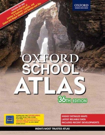
Description
Key features
- Provides the latest available demographic and socio-economic data culled from authoritative sources, such as Census of India 2011 Statistical year book 2019 planning commission reports PRB 2019 HDR 2019, FAO, UNSD, USDA, WMO, The world bank British geological survey etc.
- Includes separate physical and political maps of India and the continents.
- Contains new and informative thematic maps of India including 16 maps focusing on Indian climate, 22 maps on Indian agriculture, 23 maps on minerals and industries 17 maps on demography and human development and 10 maps on environmental concerns and natural hazards.
- Reflects recent geopolitical and socio-economic developments as well as climatic and environmental concerns focusing on India and the world.
- Provides comprehensive coverage of the continents including thematic features of each continents and regional maps of countries and regions.
- Contains a fully updated and revised index.


Reviews
There are no reviews yet.